Folder: My Places
|
| |
Folder: Jeff's Places
This is mostly places that I've either been to or that I know (as opposed to things I randomly found while just browsing with Google Earth). |
| |
Folder: Unfiled - new placemarks
|
| |
|
Placemark
|
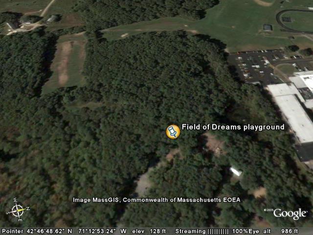
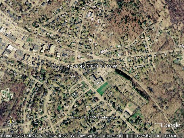
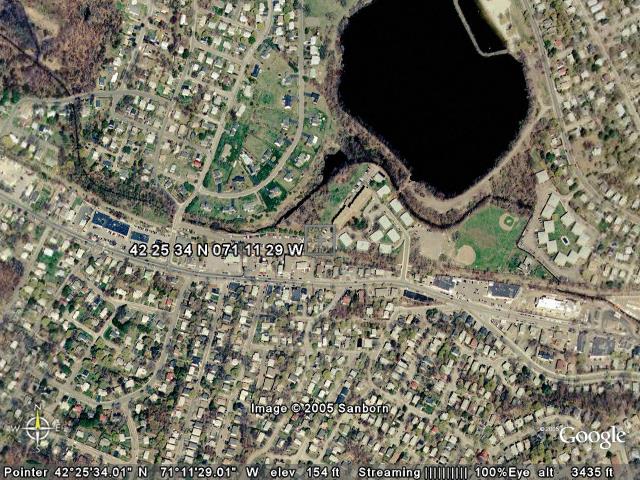
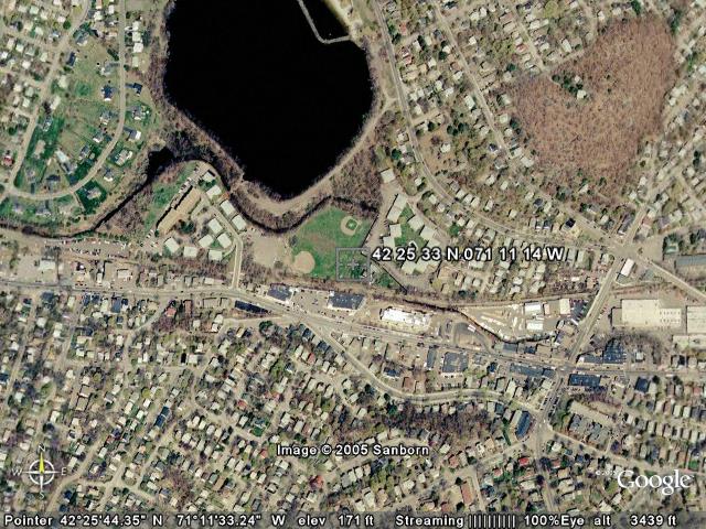
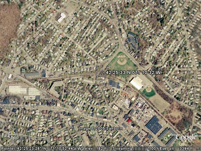
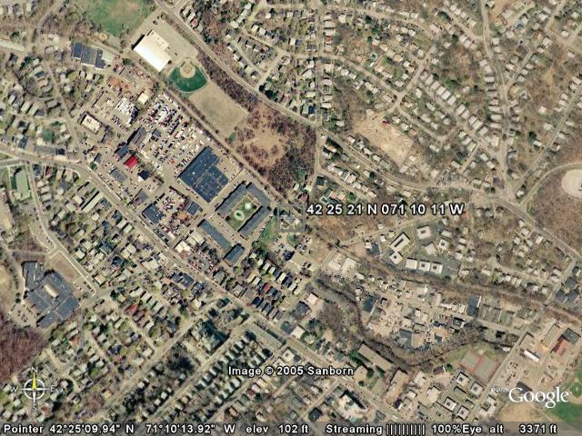
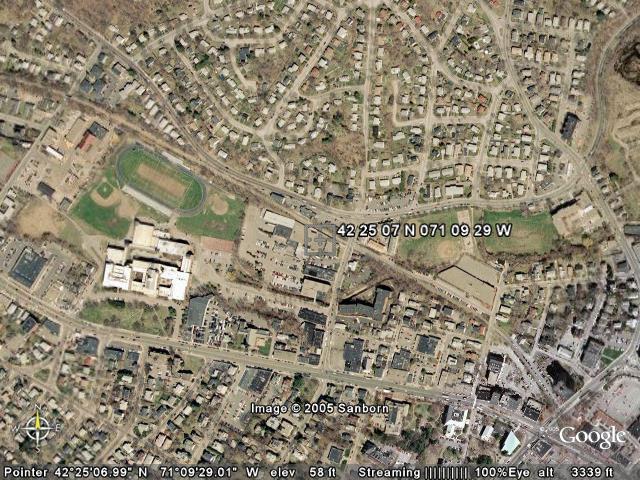
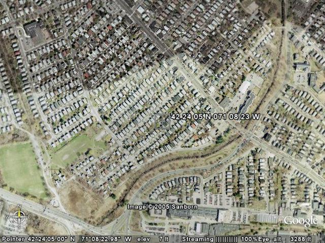
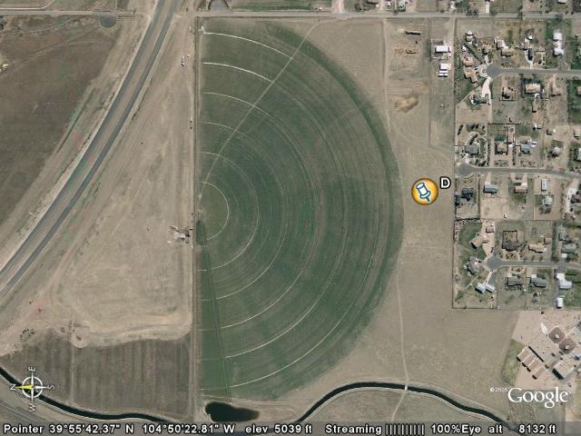
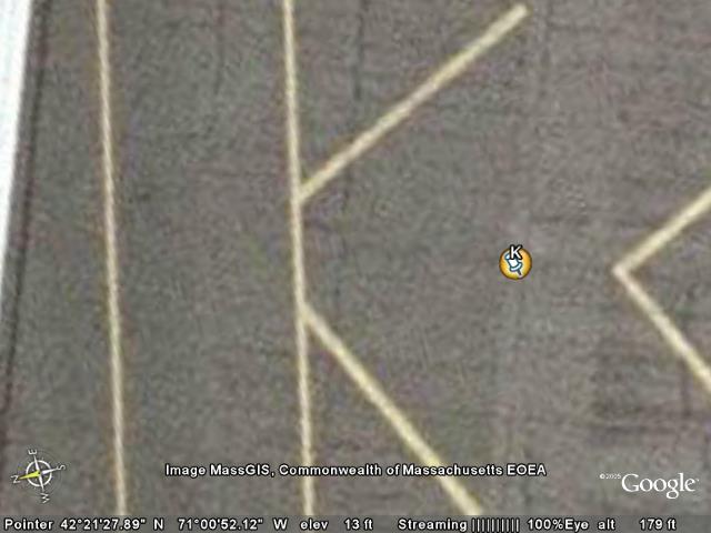
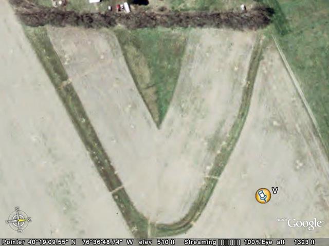
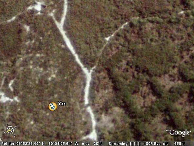
Field of Dreams playground
View in Google Earth
View in Google Maps
View in Local Live (MS)
(ignore this link - jpegname)
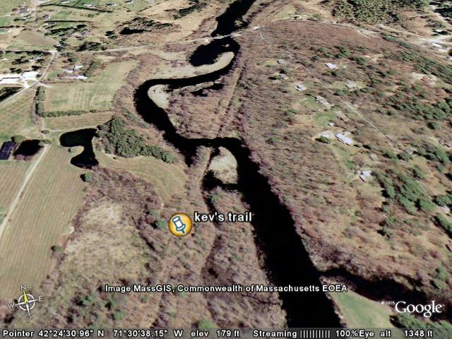
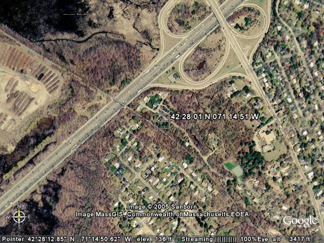
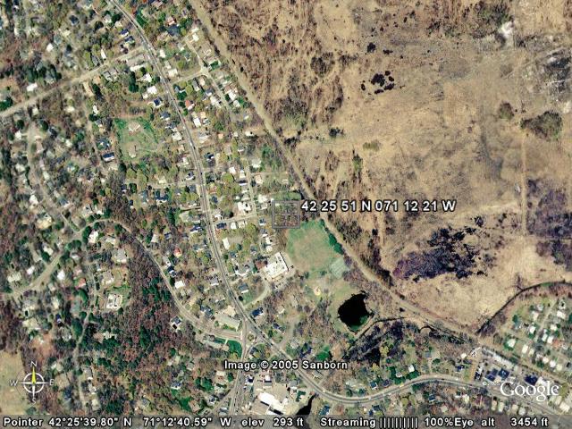
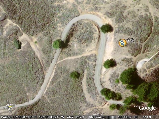
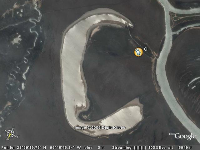
| Behind the playground there's a trail that goes up towards the top of the picture.. It tees off - one part goes into the small open area to the left then up to the field on the left, while another goes up the hill towards the top of the screen. Laurie said "Project Charlie" is the name of some thing that she did in Jr. High with obstacle courses and rip-lines. |  |
|
Placemark
|
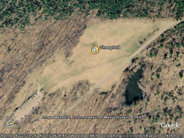
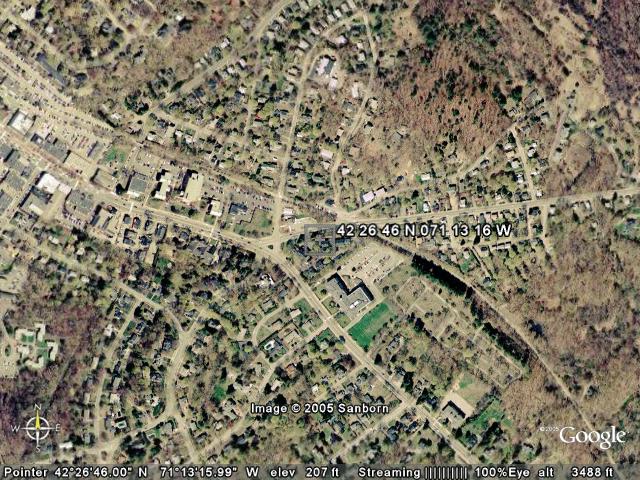
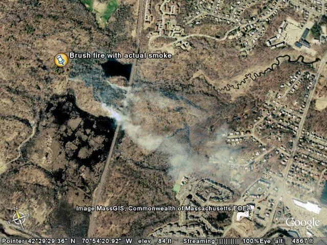
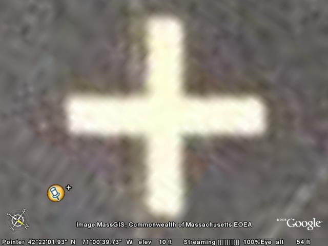
Sheepfold
View in Google Earth
View in Google Maps
View in Local Live (MS)
(ignore this link - jpegname)
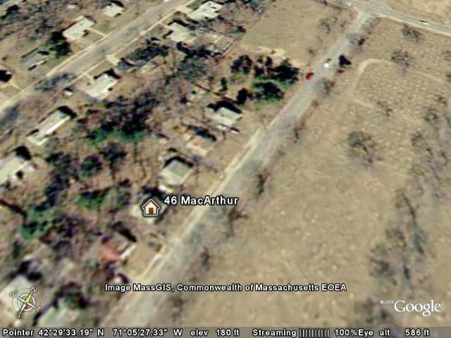
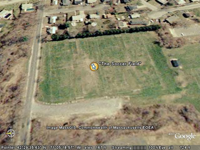
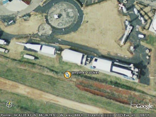
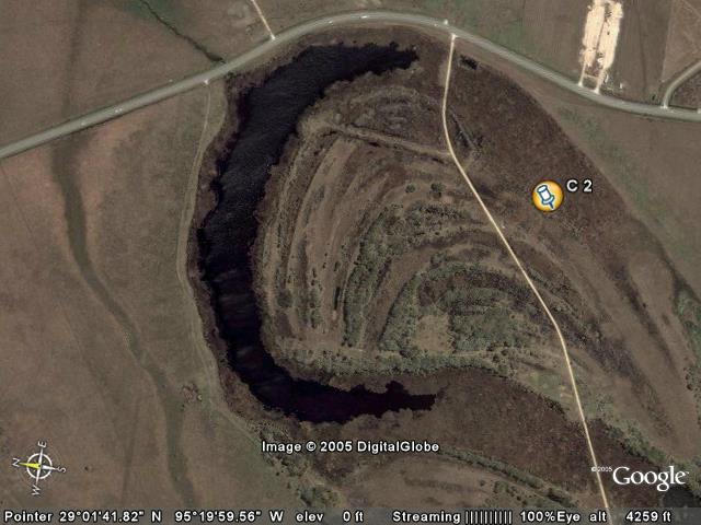
| This was one of the only places in Stoneham that it was legal to fire off Estees model rockets (even with a permit, which you had to have).. (That never stopped us from launching them at the soccer field near our house on MacArthur Rd, though).
I remember when I got Dad a model airplane and we (I) crashed it there way too soon.
I also remember a field trip in 2nd grade where Mrs. Welch (the "other" 2nd grade teacher, not my Mrs. Yapp) made me eat my baloney sandwitch even though it had been sitting in the sun and was utterly disgusting.
Somewhere near here I think the Wonderbread (or was it Sunbeam? no, I think it was Wonderbread) factory was - because we went there on another field trip and it's somehow linked in my mind to this entrance from the main road. |  |
|
Placemark
|
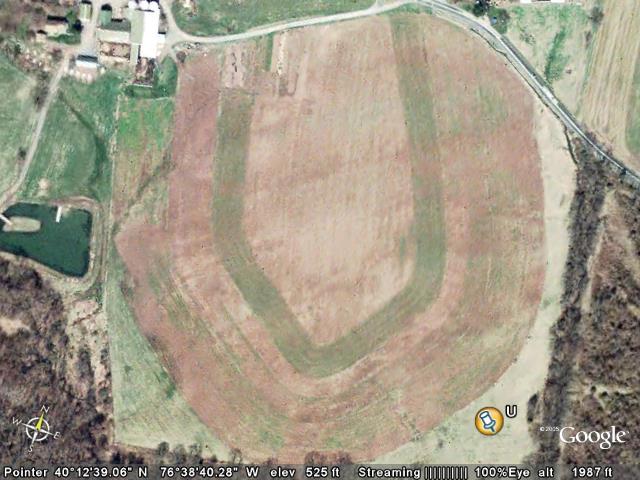
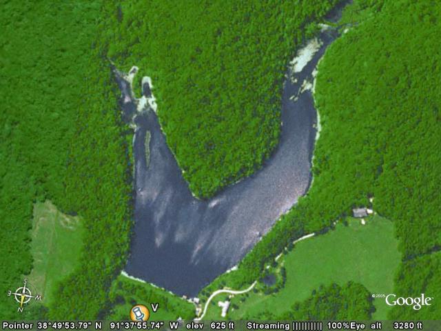
Mendon Drive-In
View in Google Earth
View in Google Maps
View in Local Live (MS)
(ignore this link - jpegname)
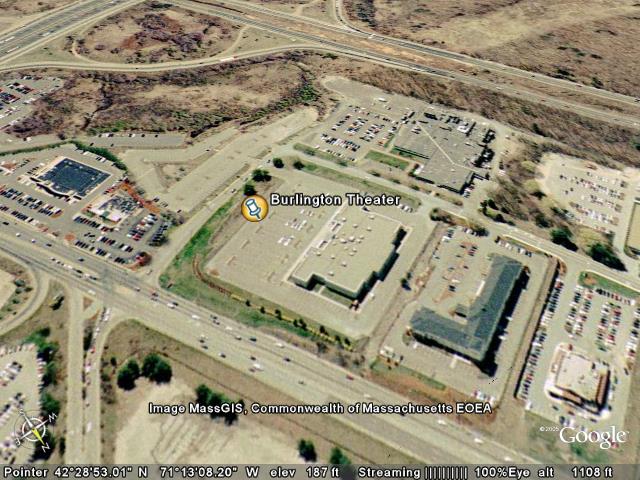
| In 2005, for the first time in probably like 26 years, I went to a drive-in. Actually, we went. Laurie took me there for father's day, with Emily and Alicia (it was their first time at a drive-in movie theater). We saw Batman Returns (yawn) and .. wait for it .. Star Wars: Episode 3 Revenge of the Sith. We saw it on the screen to the right (the west-most one).
(Actually, Batman Returns could have been good - we have no idea, we spent the entire time listening to Emily and Alicia scream.. They slept through Star Wars (as did Laurie)).
Quote of the day (from Emily): Look at that screeeeeen! | 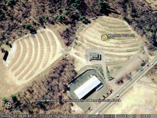 |
|
Placemark
|
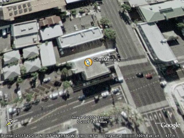
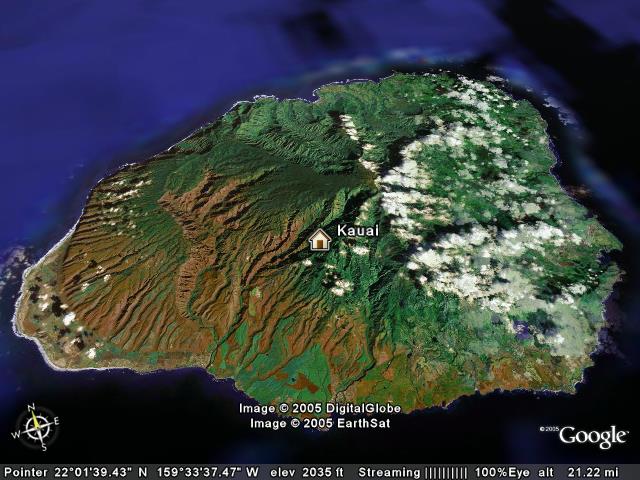
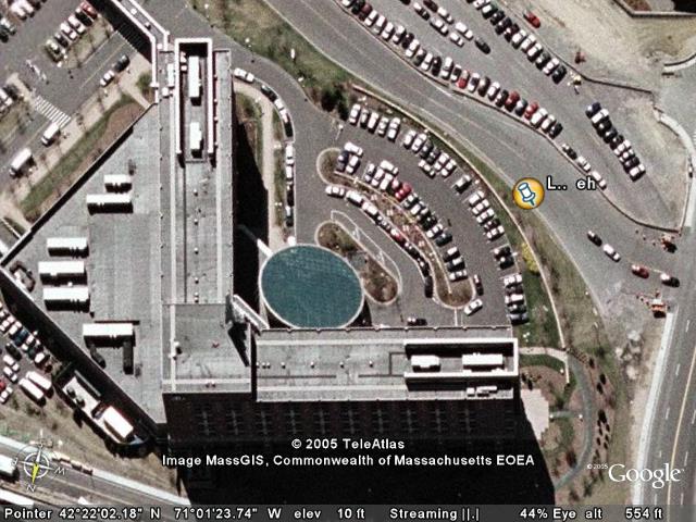
Chef Mavro's
View in Google Earth
View in Google Maps
View in Local Live (MS)
(ignore this link - jpegname)
| Laurie and I went here and had an absolutely incredible time. Laurie got SO wasted. I have proof of that on videotape. Ask Laurie about the foot-washing spigot in the bathroom (which she went back to videotape for me). (Hint: It's not a foot-washing spigot, just the confused rambling of a overjoyed overdrunk newlywed wife).
We're on their mailing list, which taunts us about specials often (despite the fact that it's a 16 hour flight to get there).
http://www.chefmavro.com/ | 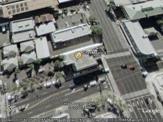 |
Folder: nonrandom from freedom - file these
|
| |
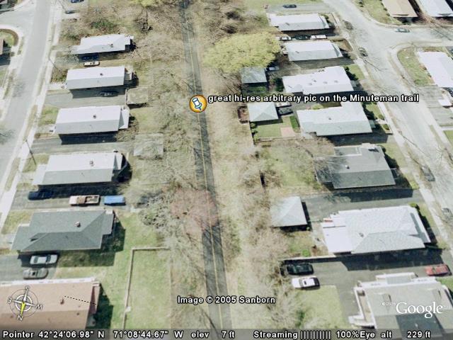
Folder: Minuteman Trail - Views picked by hand
|
| |
|
|
|
|
|
|
Folder: imported
|
| |
Folder: 2005_12_23_movedover_freedom
|
| |
Folder: importFromSavaJeLaptop
|
| |
Folder: Cairo and Las Vegas and Sacramento pyramids
|
| |
|
|
|
|
|
Placemark
|
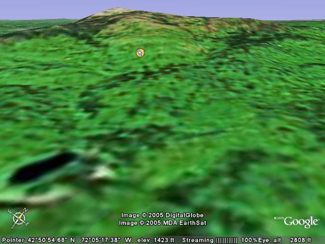
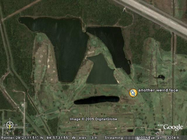
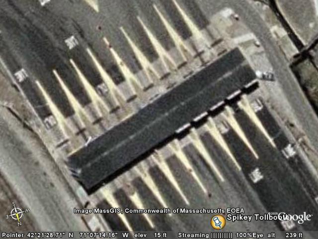
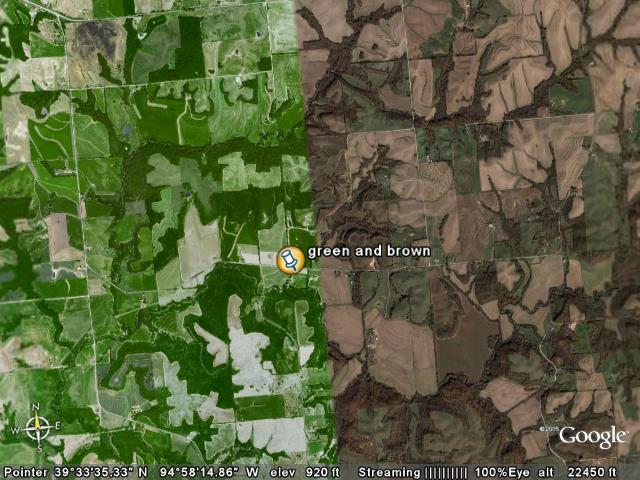
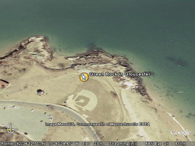
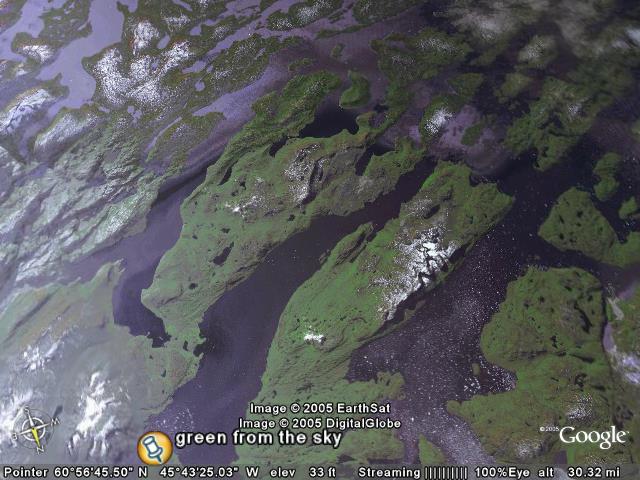
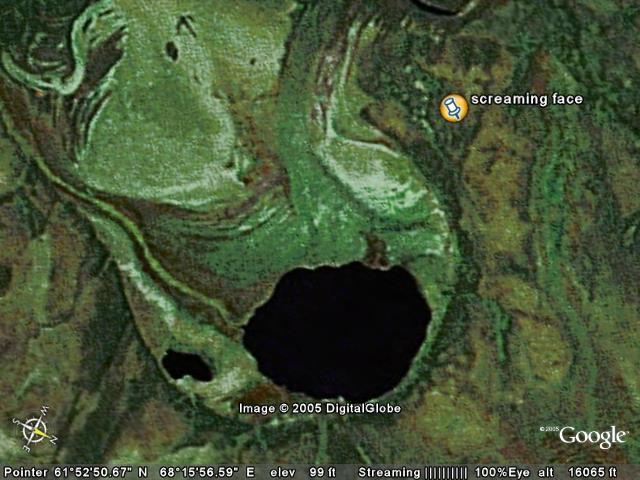
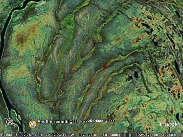
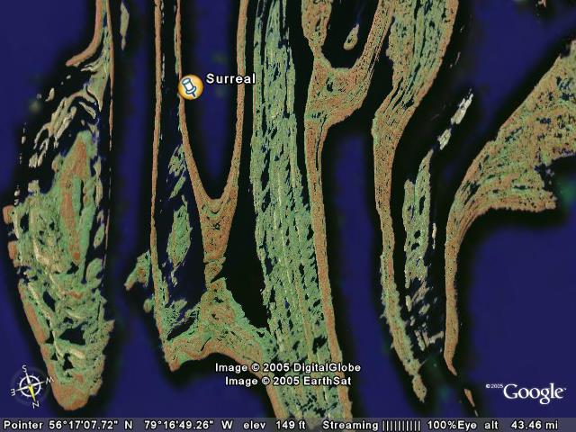
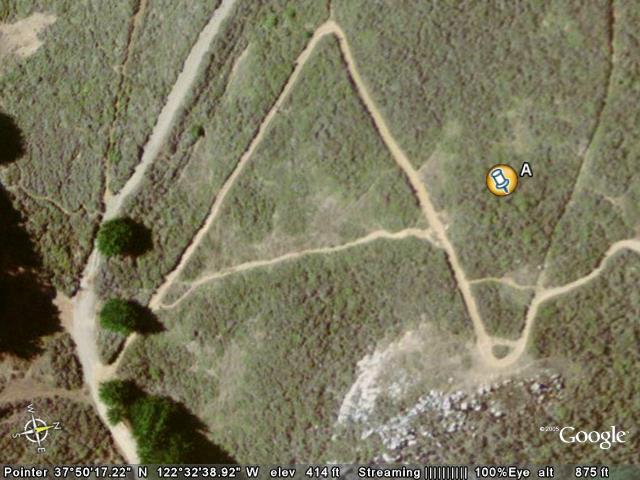
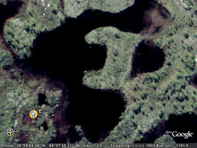
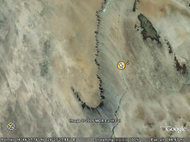
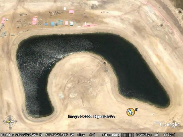
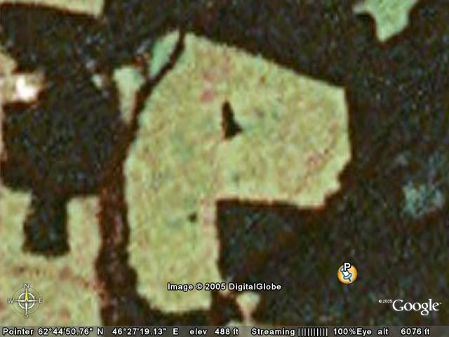
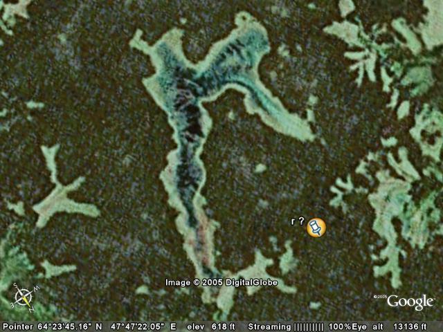
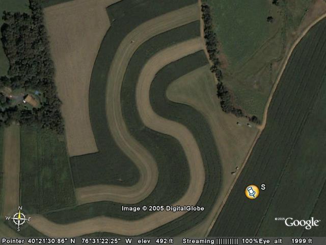
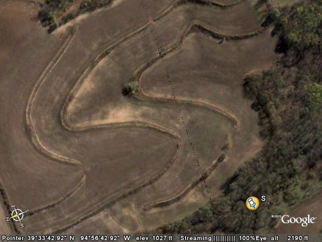
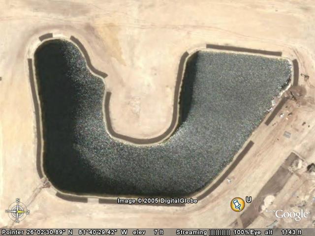
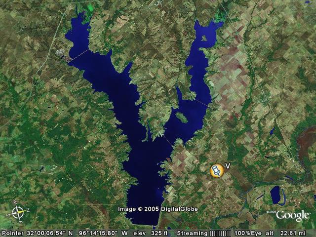
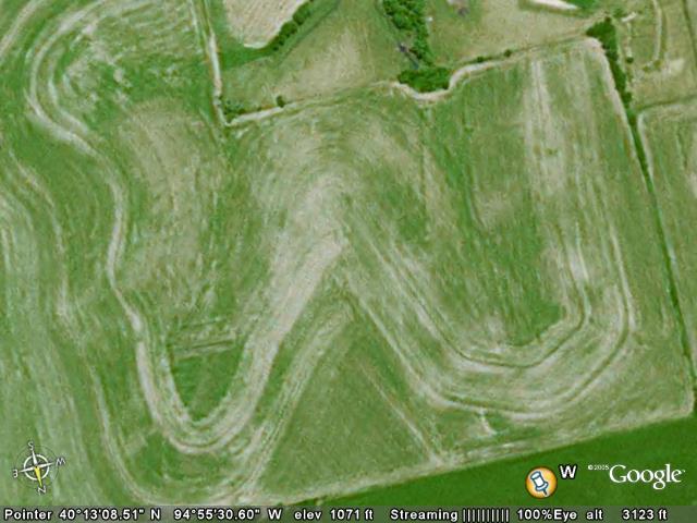
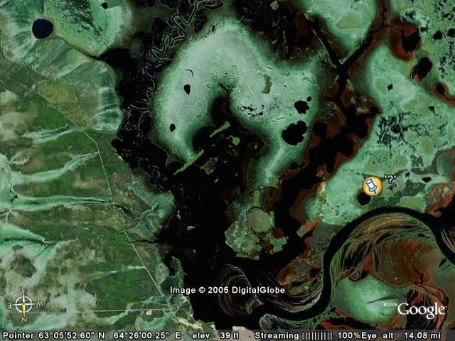
almost like a warped twisted Darth Vader face
View in Google Earth
View in Google Maps
View in Local Live (MS)
(ignore this link - jpegname)
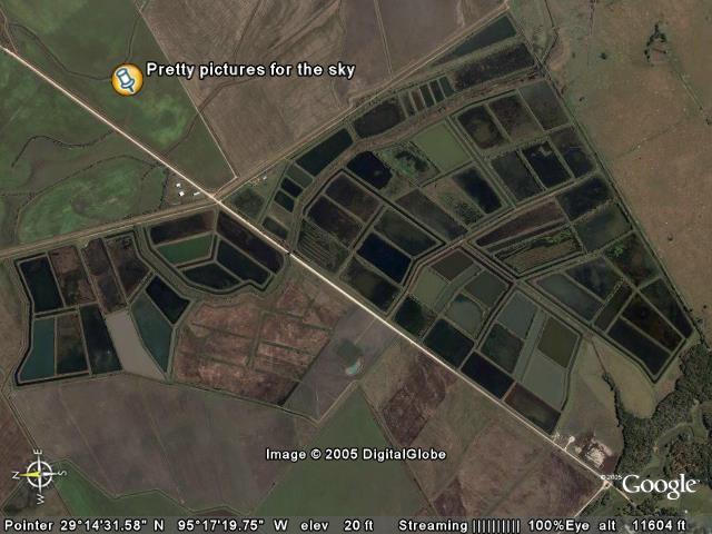
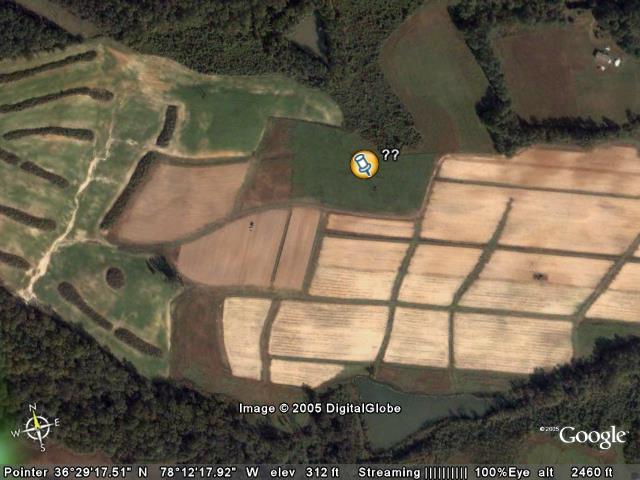
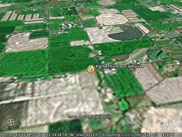
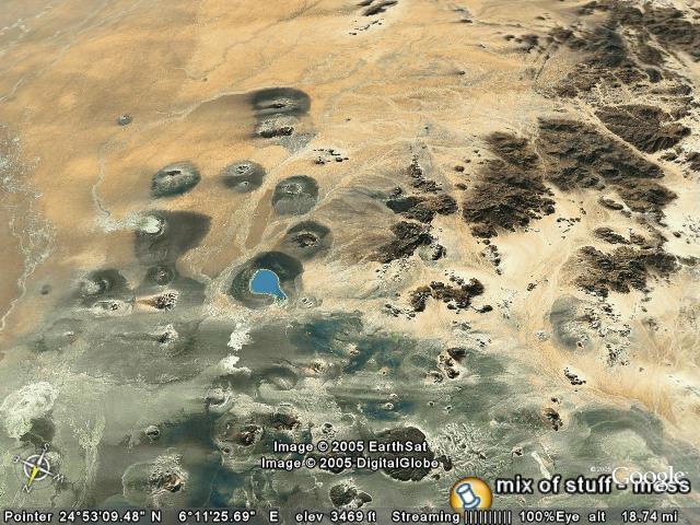
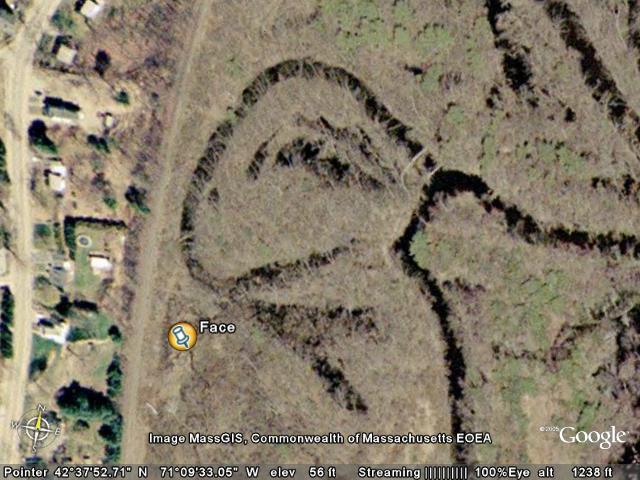
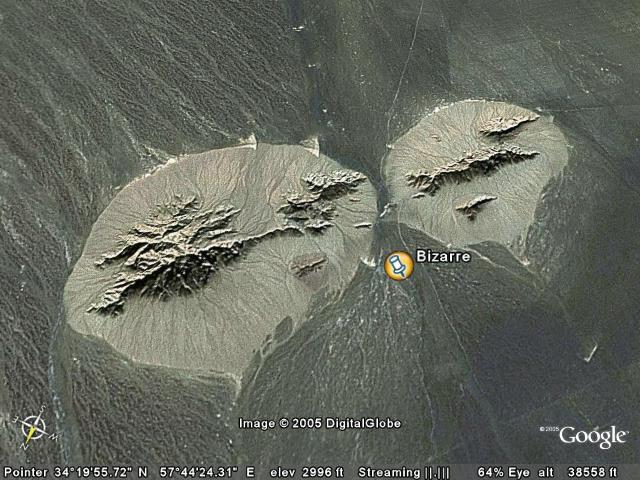
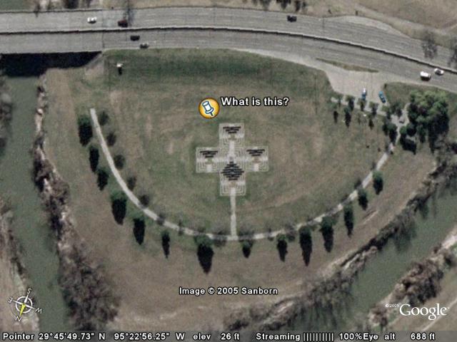
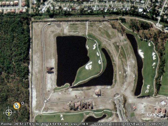
| If you kind of squint and twist your head, and imagine that the image is deliberately warped, the green picture almost looks like Darth Vader's face.. The vertical section in the center is his "nose".. The dark circle to the left is his eye, with the parts above that being his helmet/head, and below the nose is his mouthpiece thing. |  |
|
|
Folder: 2005_12_06_movedover_JKEEGAN1
|
| |
|
|
Folder: 2005_12_06_movedover_freedom
|
| |
|
|
Folder: recoveredFromFreedomAdministrator
|
| |
|
|
Folder: 2005_11_23_movedover_JKEEGAN1
|
| |
|
|
Folder: 2005_11_23_movedover_freedom
|
| |
|
|
Folder: 2005_11_11_movedover_freedom
|
| |
|
|
|
|
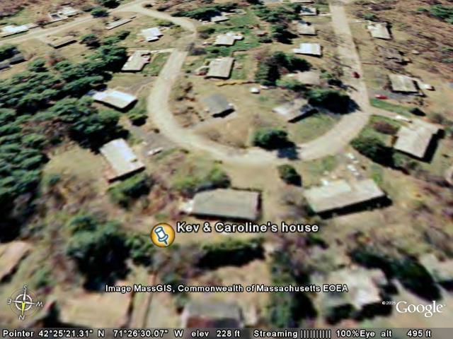
Folder: Family
|
| |
|
Placemark
|
Jon's first apartment near NY (in NJ)
View in Google Earth
View in Google Maps
View in Local Live (MS)
(ignore this link - jpegname)
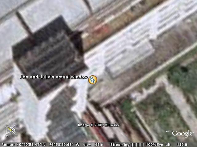
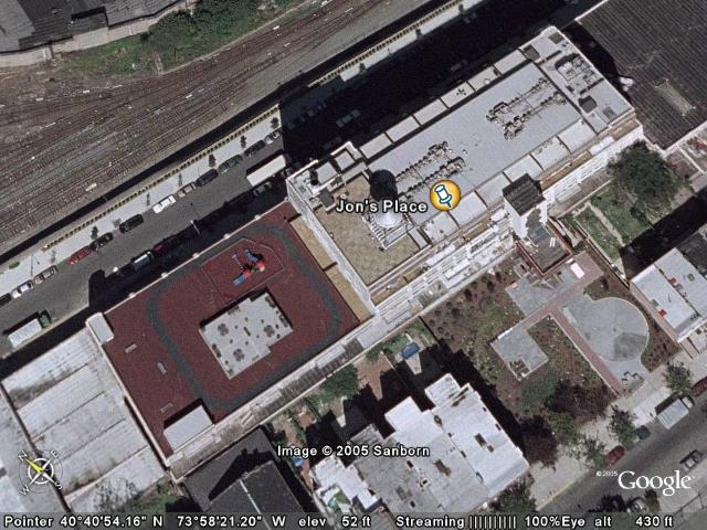
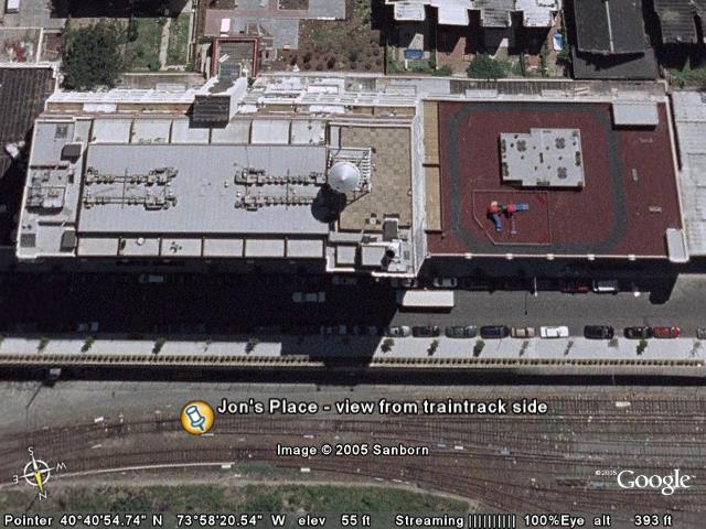
| This was Jon's first apartment near New York, after school. His landlord was Sham Aggarwal. There were roaches. He lived there from 1995-1997. I remember visiting him there multiple times.
246 York St
Jersey City, NJ 07302
Jon was present when creating this placemark, and specified the exact building with 100% confidence. | .jpg) |
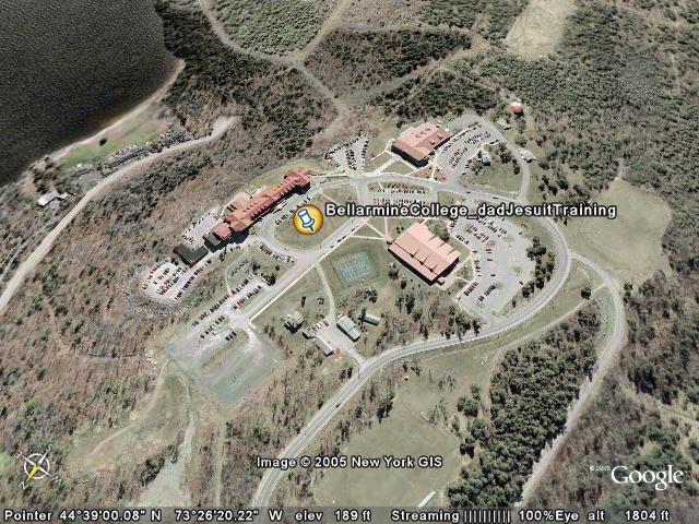
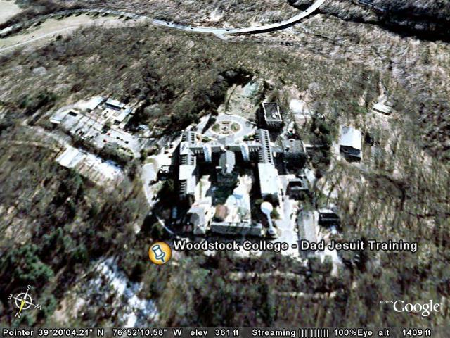
Folder: LarryKeegan Schools & Jesuit Training
|
| |
|
|
|
|
Folder: Childhood - Jeff
|
| |
|
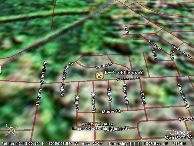
Placemark
|
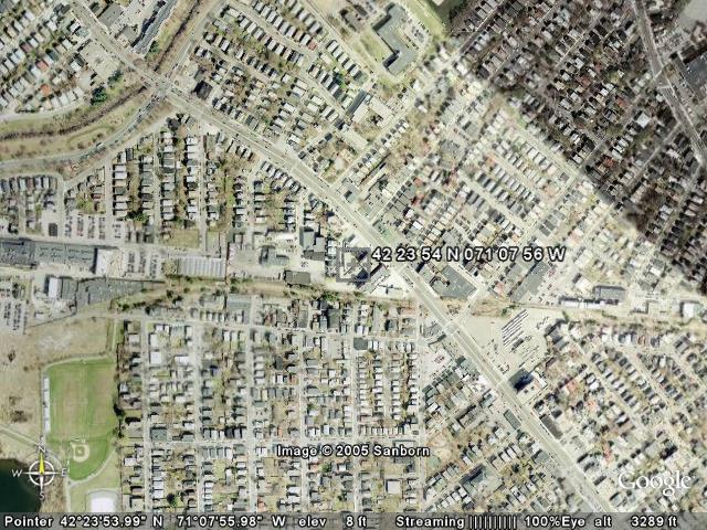
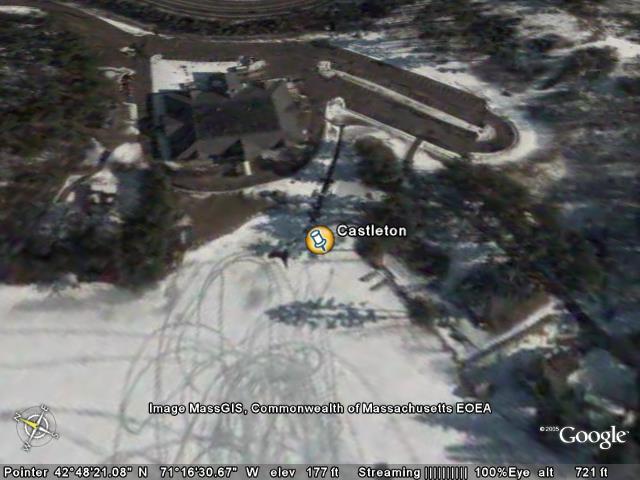
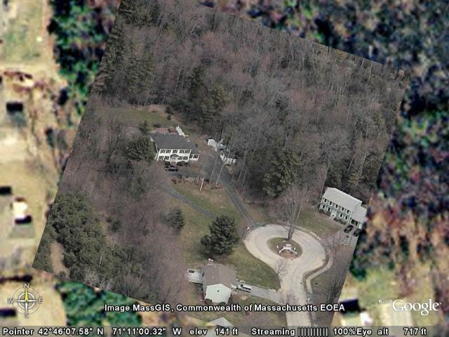
The "Old Age Home"
View in Google Earth
View in Google Maps
View in Local Live (MS)
(ignore this link - jpegname)
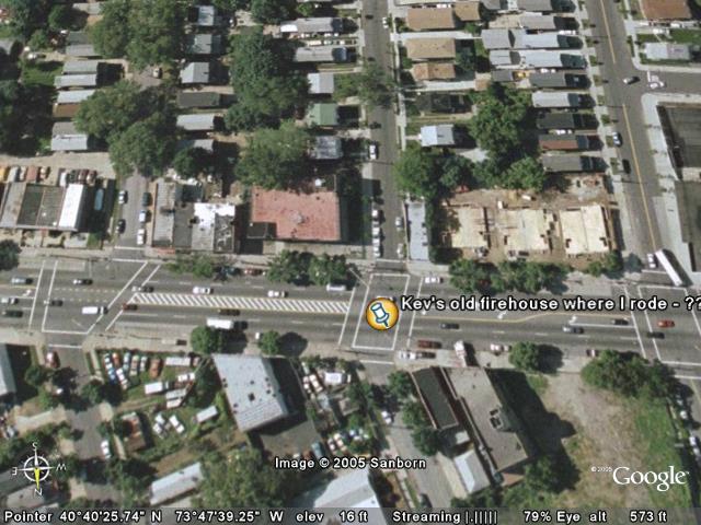
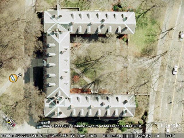
| We'd walk up a fire escape on the right side of the house (from this angle), then onto the roof. It's fortunate we didn't fall to our deaths. Jon has a story about the fire station house below it. I also remember playing with the school band here one day for retirees, and also buying a chalkboard/bulletinboard at a yard sale here. Somewhere there are pictures that Jason Tolpin and I took of me on the roof (or from me on the roof, I can't remember which) - probably black and white from photography class in high school. | 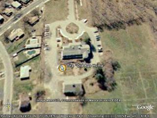 |
|
Placemark
|
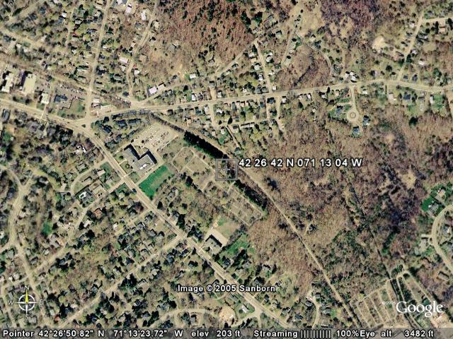
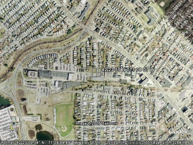
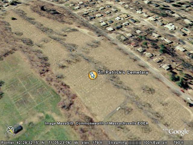
St. Patrick's Cemetary
View in Google Earth
View in Google Maps
View in Local Live (MS)
(ignore this link - jpegname)
| This is the cemetary across the street from our house.. We'd play hide-and-go-seek there often. I remember the day Jon and I had read (in a book!) that if you walked backwards around a grave 10 times and looked through a ring, you'd see a ghost.. We tried it, and became extremely disallusioned to realize a book had lied to us. :) |  |
|
Placemark
|
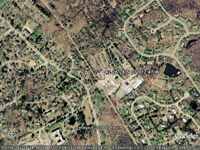
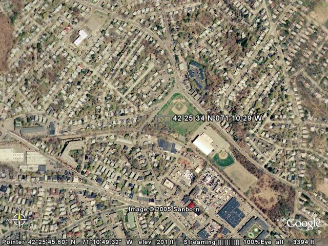
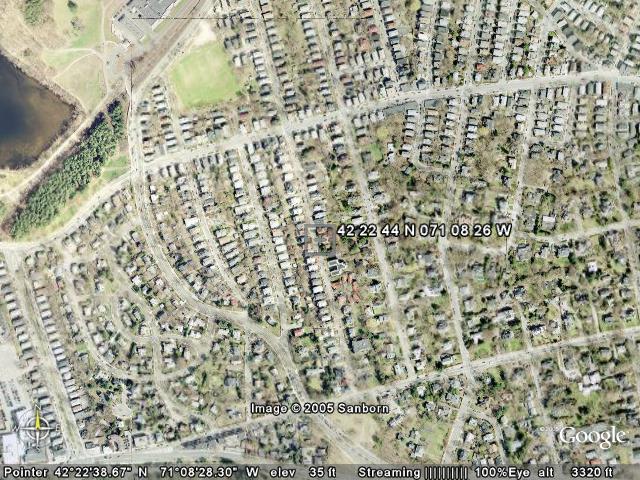
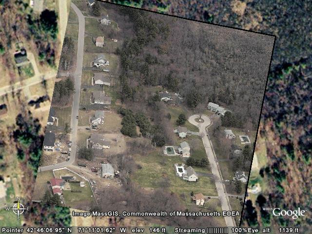
A.P. Rounds
View in Google Earth
View in Google Maps
View in Local Live (MS)
(ignore this link - jpegname)
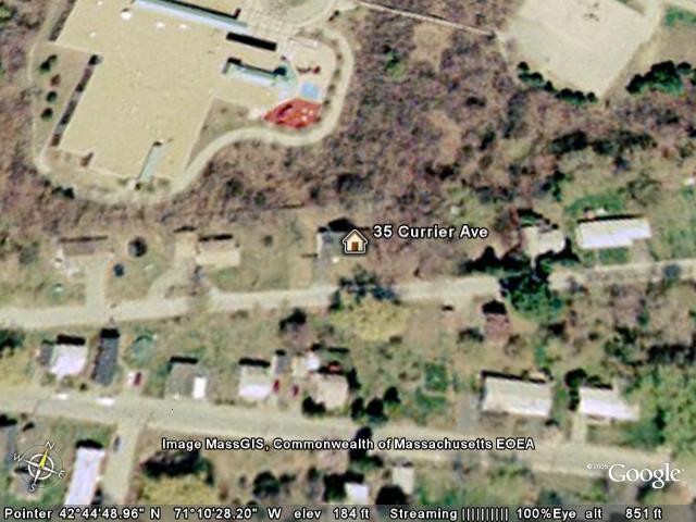
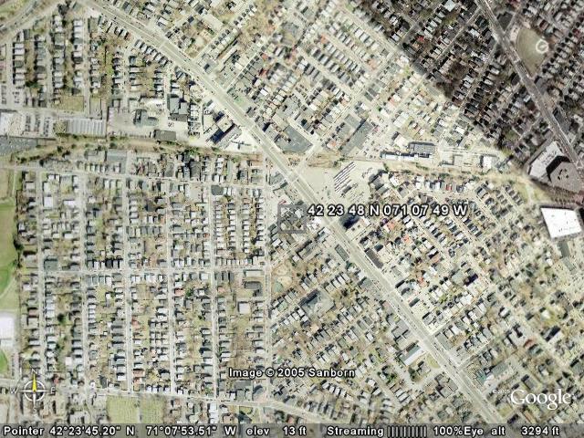
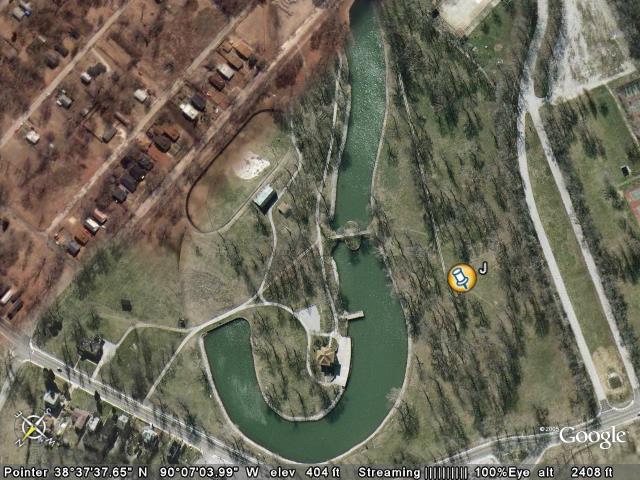
| This playground houses many of our childhood memories.. I vividly remember the day my mom walked me down the street to introduce me to the councelors that they paid to have around for the kids, so we could buy gimp for $0.03(?) per yard, do arts and crafts, etc. The swings and slides are all different now (and the merry go round is no more, nor do I believe is the see-saw), but it's all still a strong memory.
Two more items: 1) In the winter the firemen would flood the park so we could ice skate on it, and 2) The green building (now torn down) in the trees on the left was painted in 1976 to celebrate the bicentenial, and years later we'd climb up into the attic via the back door. | 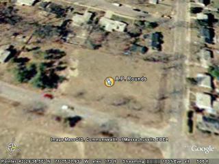 |
|
Placemark
|
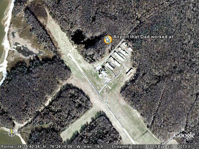
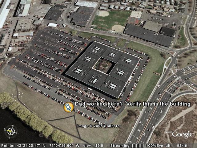
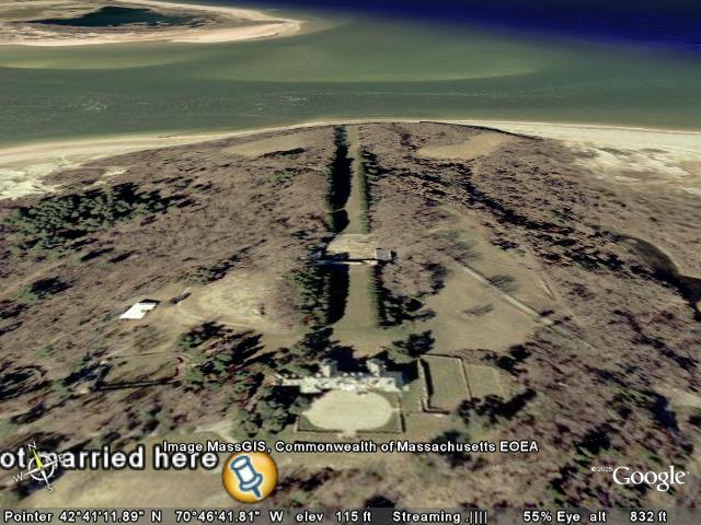
Dad's Company Picnic
View in Google Earth
View in Google Maps
View in Local Live (MS)
(ignore this link - jpegname)
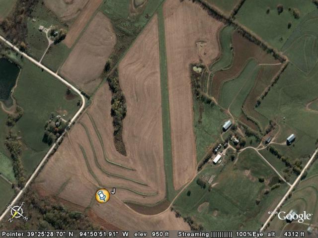
| This is where we went for Dad's company picnic when we were kids.. (Cederdale/Groveland Corporate Outing Center, Bare Hill Rd, Groveland MA 978-372-2622)
www.cederdale.com
We went there later for a MyWay picnic too.
As kids, Jon and I played Tennis in those courts, and listened to Led Zeppelin in that parking lot (in my car, I think). | 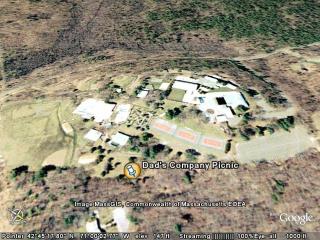 |
|
|
Folder: Childhood - Laurie
|
| |
|
|
Folder: Our Wedding / Honeymoon
|
| |
|
|
Folder: Segway Trips
|
| |
Folder: SavaJe Segway Trip
|
| |
|
Placemark
|
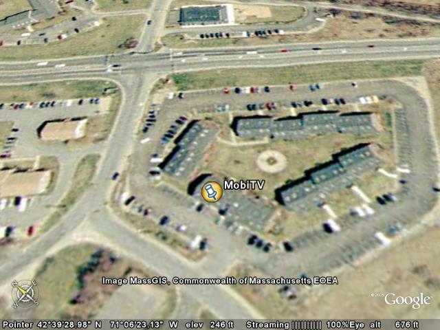
jkeegan_Segway_trip_to_SavaJe
View in Google Earth
View in Google Maps
View in Local Live (MS)
(ignore this link - jpegname)
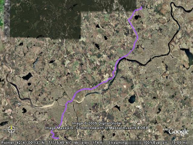
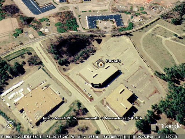
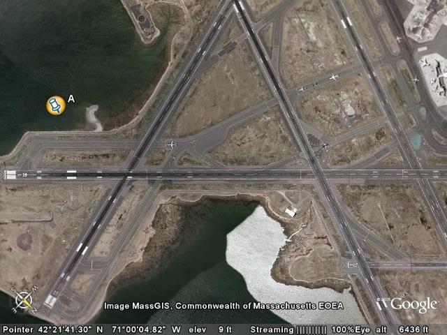
| This is the first looong Segway trip I ever took, riding my Segway from home to work (SavaJe Technologies in Chelmsford, MA). It was an 18.4 mile trip, and the Segway lasted 18 miles before the battery died and I had to walk it about 200 yards the rest of the way. On the way home I went slower and avoided the Lowell St/Methuen St hill, and made it the entire way on one battery charge. I have a Segway HT i180 with the Saphron Lithium-ion batteries. |  |
|
|
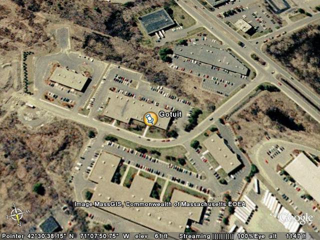
Folder: SegwayGotuitWorksheetFolder
|
| |
|
|
|
|
Folder: Work / work-related
Places that we've worked, and some places I went on business trips. |
| |
|
|
|
|
Folder: RandomCoolPics
|
| |
|
Placemark
|
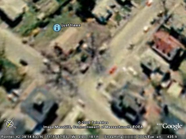
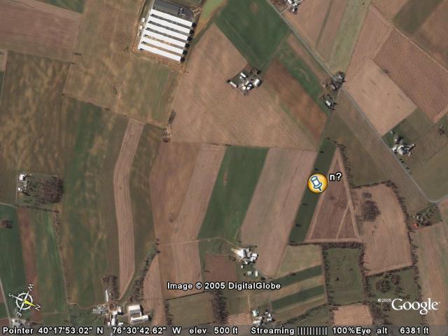
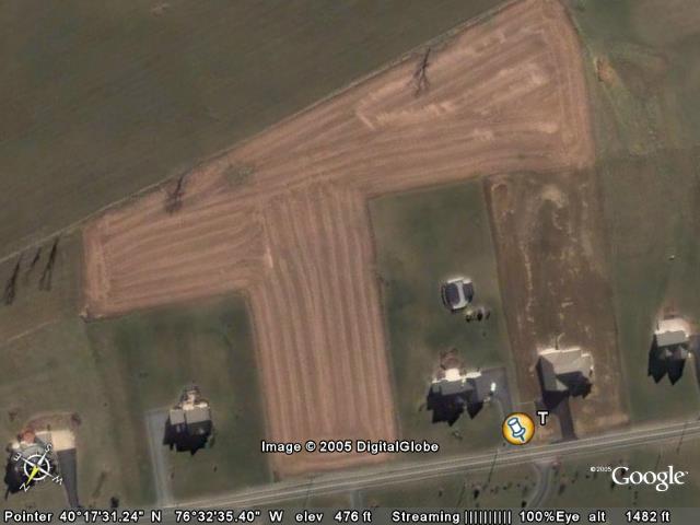
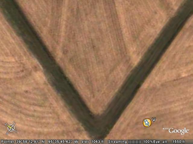
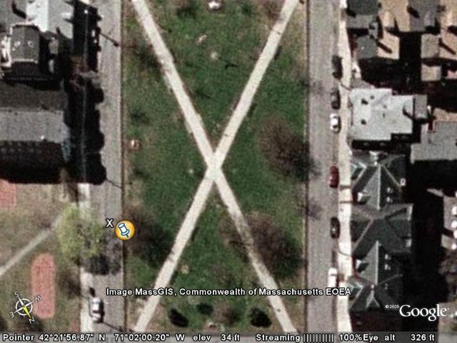
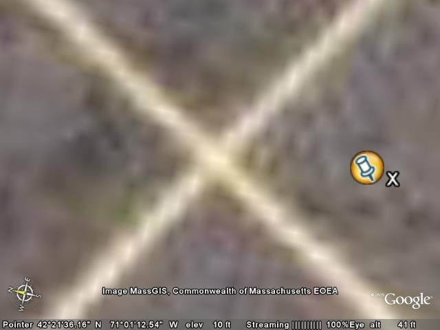
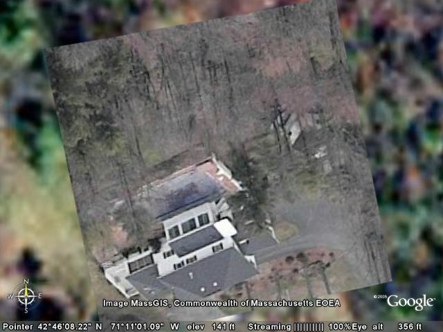
just trees
View in Google Earth
View in Google Maps
View in Local Live (MS)
(ignore this link - jpegname)
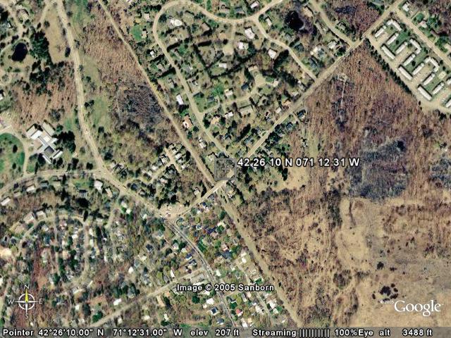
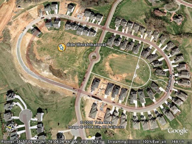
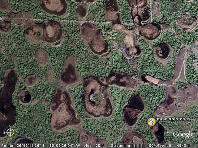
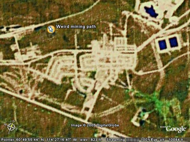
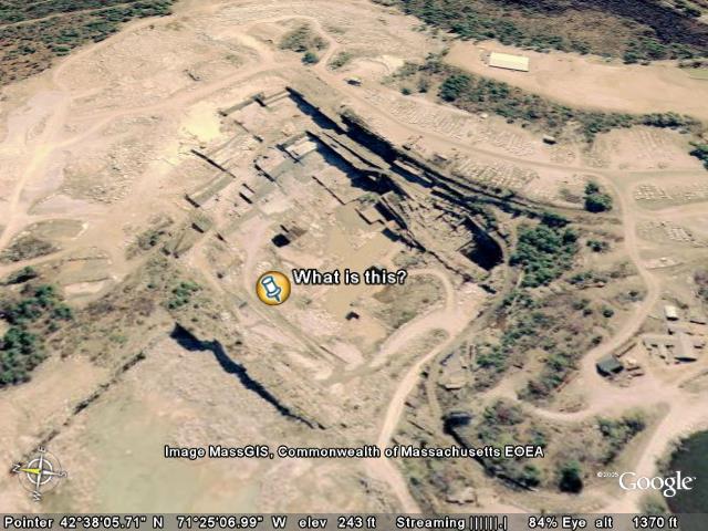
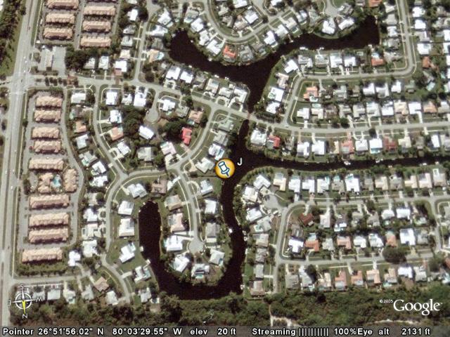
| I originally didn't know what this was.. I now think it's just trees and their shadows. Original confused comments follow:
What's with the streets around this house? Did the house explode, or was there a fire or something? And what about the house in the bottom right part of the screen? It looks like it was pulled apart - what's that pathway?
Maybe shadow? |  |
|
|
Folder: Jeff's Google Earth Page imgs
|
| |
|
|
Folder: GotFromKeyholeBBS
Overlays or placemarks from KeyholeBBS that I wanted to keep for some reason (but that don't fit under the more general Jeff's Places or RandomCoolPics categories). |
| |
|
|
|
Image Overlay
|
Hurrican Emily
View in Google Earth
Overlay Image Itself
(ignore this link - jpegname)
| Hurricane Emily Click here to view full image (4967 kb)
Despite its encounter with land, Hurricane Emily retained the characteristic swirling form of a hurricane when it emerged over the Gulf of Mexico on July 18, 2005. The Moderate Resolution Imaging Spectroradiometer (MODIS) on NASA’s Terra satellite captured this image at 12:10 p.m. local time in Cancun, Mexico, just after Emily returned to open waters. At this time, the storm was a Category 1 storm with winds of 120 kilometers per hour (75 miles per hour).
The National Hurricane Center predicts that Emily will regain strength over the warm waters of the Gulf of Mexico, possibly becoming a Category 3 storm before going ashore near the Mexico-U.S. border on July 19.
Emily is a record-setting storm for many reasons. When it formed on July 11, Emily became the earliest fifth named storm on record. As it moved through the Caribbean, Emily intensified into a powerful Category 4 storm with winds over 250 km/hr (150 mph) and gusts as high as 300 km/hr (184 mph), making it the most powerful storm to form before August. The previous record was set by Hurricane Dennis, which ripped through the Caribbean during the first week of July 2005. Emily’s Category 4 status also made 2005 the only year to produce two Category 4 storms before the end of July.
NASA image provided courtesy of Jeff Schmaltz, MODIS Rapid Response team. | |
|
Image Overlay
|
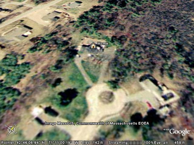
LL_ourHouseLookingS
View in Google Earth
Overlay Image Itself
(ignore this link - jpegname)
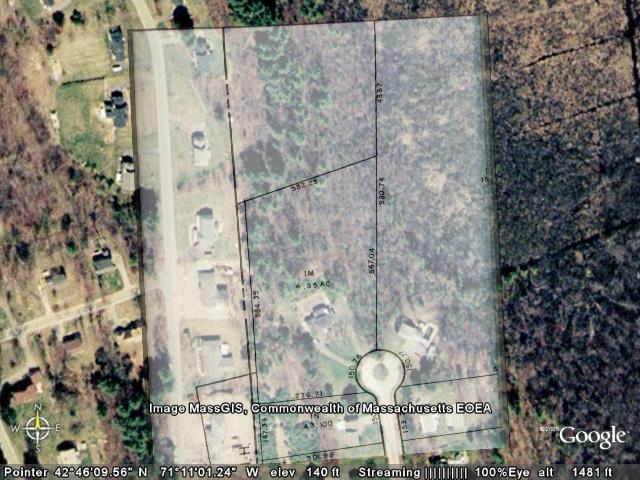
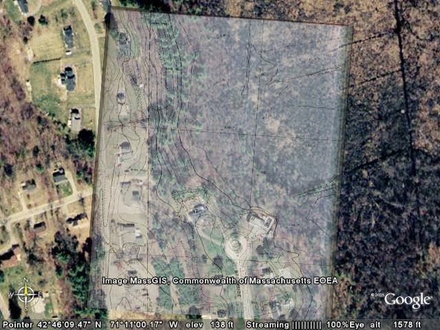
| This is a crude overlay of our house looking South, with data pulled from LL.
This is a bad overlay as it doesn't represent the house well, nor the property.. If you stretch it to fit the houses in NH, it makes the cul-de-sac look wrong, because you can't place overlays at angles that aren't snapped to the ground. | 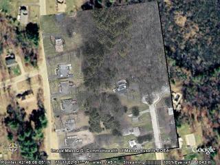 |
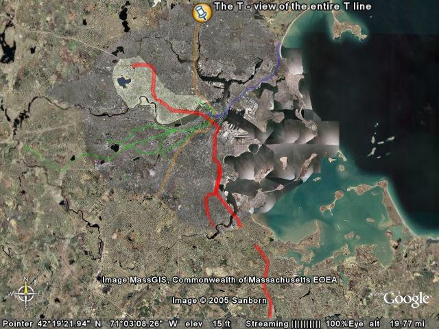
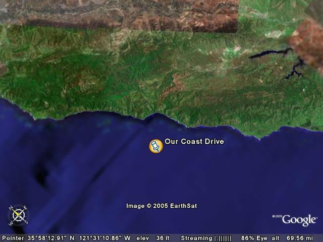
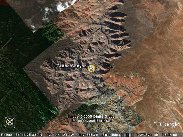
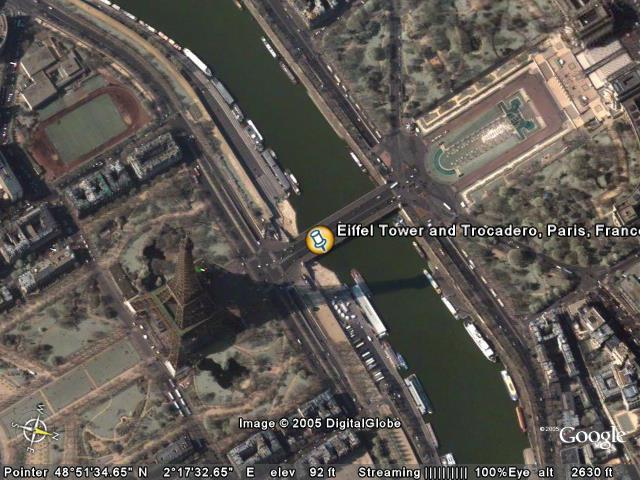
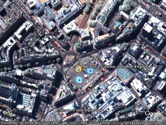
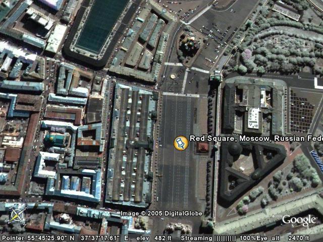
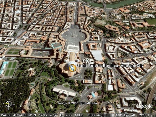
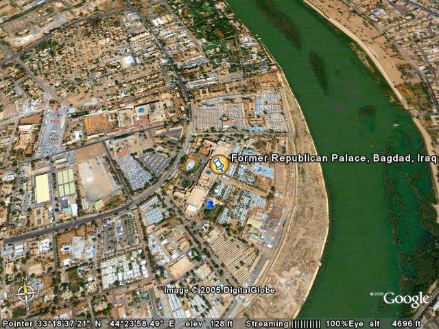
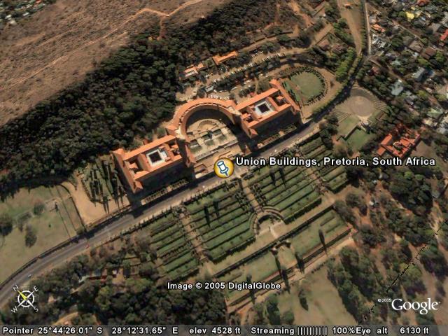
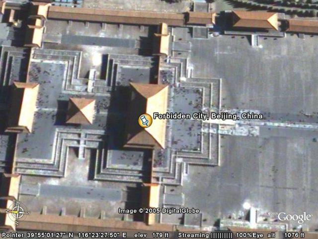
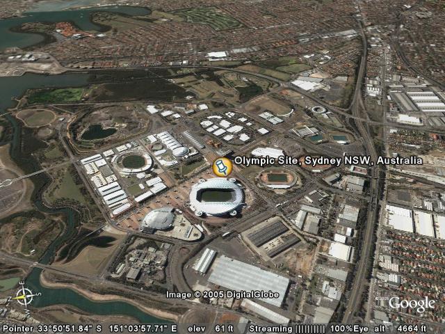
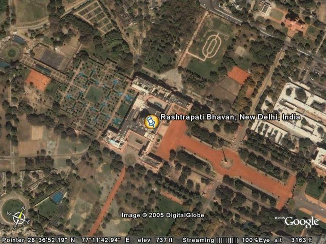
Folder: Sightseeing
Start your Google Earth world tour here! Click on an underlined
placename for information, double-click to fly to the indicated location, and
click on the blue "Play" arrow below to start a tour. |
| |
|
|
|
|


+building..+S+something.jpg)


.jpg)
.jpg)


.jpg)
.jpg)


__.jpg)


.jpg)
.jpg)


+building..+S+something.jpg)
_s.jpg)
.jpg)
.jpg)
.jpg)
.jpg)
__.jpg)
.jpg)
.jpg)
.jpg)
.jpg)